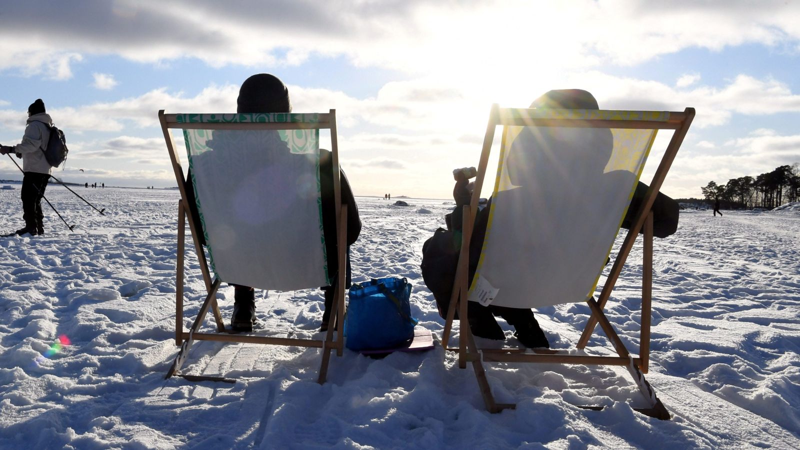
The Met Office has issued its first snow warning of this winter, as Britain is expected to face icy temperatures this week.
A yellow weather warning for snow has been issued for northern Scotland on Wednesday, with snow showers likely to disrupt travel.
Snow could also fall in parts of Northern Ireland and north-east England, with the coldest temperatures expected from Wednesday onwards. Much of the UK is expected to remain just above freezing during the day and fall below overnight.
“It will likely continue to be cold with further showers for much of the UK, which will fall as sleet and snow across the north leading to some accumulations of snow across higher ground,” the Met Office said. “Showers falling as rain or sleet are more likely in parts of the south.”
Forecasts suggest “a good deal of fine and dry weather with sunny spells at times in the south, but with some sharp overnight frosts expected”. However, temperatures are expected to remain cold or very cold throughout the UK next week.
The weather warning for Scotland states that up to 2-5cm of snow is possible on lower ground, rising to 5-10cm on ground above 200 metres. Some drifting and blizzard conditions are possible in the strong northern winds, the warning said.
The warning covers Central, Tayside and Fife, Grampian, Highlands and Eilean Sia and Orkney and Shetland.
From Wednesday, daytime temperatures are expected to be as low as 2C, falling to -3C overnight on Thursday, in a cold snap originating from low pressure in Norway.
The outlook for the rest of the month suggests the weather could get warmer, but with wet and windy conditions for the south and west.
“The north and east are most likely to hold on to colder conditions for the longest,” the Met Office forecasts. “Any transition between the cold and mild conditions would bring a risk of rain, with sleet and snow especially over the hills.”
Archie Bland and Nimo Omer take you through the top stories and what they mean, free every weekday morning
Privacy Notice: Newsletters may contain info about charities, online ads, and content funded by outside parties. For more information see our Privacy Policy. We use Google reCaptcha to protect our website and the Google Privacy Policy and Terms of Service apply.
The UK would need a December of near-record cold weather to avoid 2022 being its warmest year on record. Provisional figures from the Met Office show autumn (September, October and November) was the third warmest on record for the UK, with an average mean temperature of 11.1C.
November continued 2022’s run of every month being warmer than average, with the first 11 months of the year the warmest on record for the UK.
Mike Kendon, from the National Climate Information Centre, said: “Although it’s too early to guarantee that 2022 will be the UK’s warmest year, the first 11 months have set up the distinct possibility of a record-breaking warm year, with only a very cold December able to potentially influence where the year will eventually sit in the record books.”


